A forest day above the lake
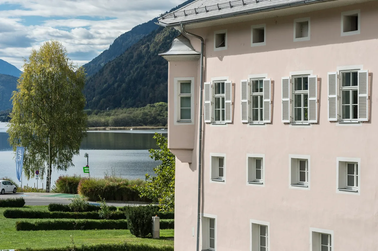
Lake Ossiach is mostly known for swimming, boats and a baroque abbey on the shore. This walk goes the other way. It climbs from the village of Ossiach into the wooded slopes of the Ossiacher Tauern, follows a stream on steps and ladders, reaches a small pond, and then drops back towards the valley. It suits people who are comfortable on steep forest paths and want a half day with real climbing but no exposed ground and no fixed ropes. It is a poor choice if you expect a flat lakeshore stroll or need a route for a pram.
We did the day on an early start. The sky was cloudy but dry, just as the forecast said. We began in the village, walked several kilometres on the local Slow Trail with morning views of the lake and plenty of birdsong, crossed village paths, and then turned into the forest. From there the day was about stairs, roots and running water. At the top of the climb we found a small lake with anglers, then more ordinary forest tracks, a ruin with a view, a village with a restaurant, and finally a bus to Villach.
The documented circuit and our longer day
The core of this walk is the climb from Ossiach through the ravine to the Tauern pond, which the regional tourism board publishes as a circular walk. Beyond the pond our day continued along forest tracks past a castle ruin with a viewpoint to a village further west. That stretch is described without names or measurements. If you walk further than the official circuit, plan that section with a proper map.
For context, the best documented ruin at the western end of the range, Landskron above Villach, is dated to the early fourteenth century, with a first written mention in 1351. Ossiach Abbey itself, on the lake shore, was founded shortly before 1028.
Key parameters
The numbers below belong to the official circuit from the centre of Ossiach up the ravine trail to the Tauern pond and back. The tourism board lists it as a medium difficulty walk of 6.18 km, with a walking time of 2 hours 45 minutes. It climbs 398 m and descends the same amount, between a low point of 504 m and a high point of 892 m.
Our own day was longer than this, because we continued past the pond and finished in a different place than we started. No measured figures are given for that extension. Add time for photos, a lunch stop and slow footing on wet steps, and treat the official 2:45 as the walking minimum for the core section.
Start and finish
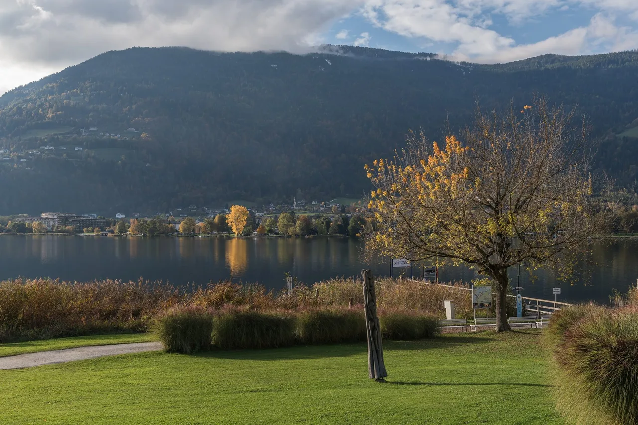
The start is the centre of Ossiach, on the southern shore of the lake. OpenStreetMap places the abbey at roughly 46.6770 N, 13.9820 E, which is a convenient reference point in the village. The official circuit returns to the same spot. Our longer day ended in a village further west, where we ate, and from there we took a bus to Villach.
How to get there
Villach is the rail hub for the whole region, with direct trains from many parts of Austria and neighbouring countries; the regional tourism board describes it on its arrival page. From Villach you continue by bus.
The tourism board lists the bus lines that serve the lake in its 2026 mobility overview: 360, 361 and 40 run Villach, Landskron, Ossiach and Steindorf, and line 40 also runs Villach to Ossiach. There is also an on-demand Postbus shuttle in the municipalities of Steindorf and Ossiach, and a boat service on the lake. Services and seasons change, so check the Kärntner Linien timetable portal on the day. The guest card of the region, available through participating hosts, covers many of these buses.
If you drive, the tourism board gives the route from Villach on the L49, the Ossiacher Landesstraße, to the parking areas in the centre of Ossiach. From Feldkirchen you take the B84 to Steindorf and then the L50 and L49.
For the return, plan around the last bus. We reached the final village, had lunch and a cold drink, and an hour later a bus took us to Villach. Look up the line and times for the return before you set off.
Route description
From the village to the ravine
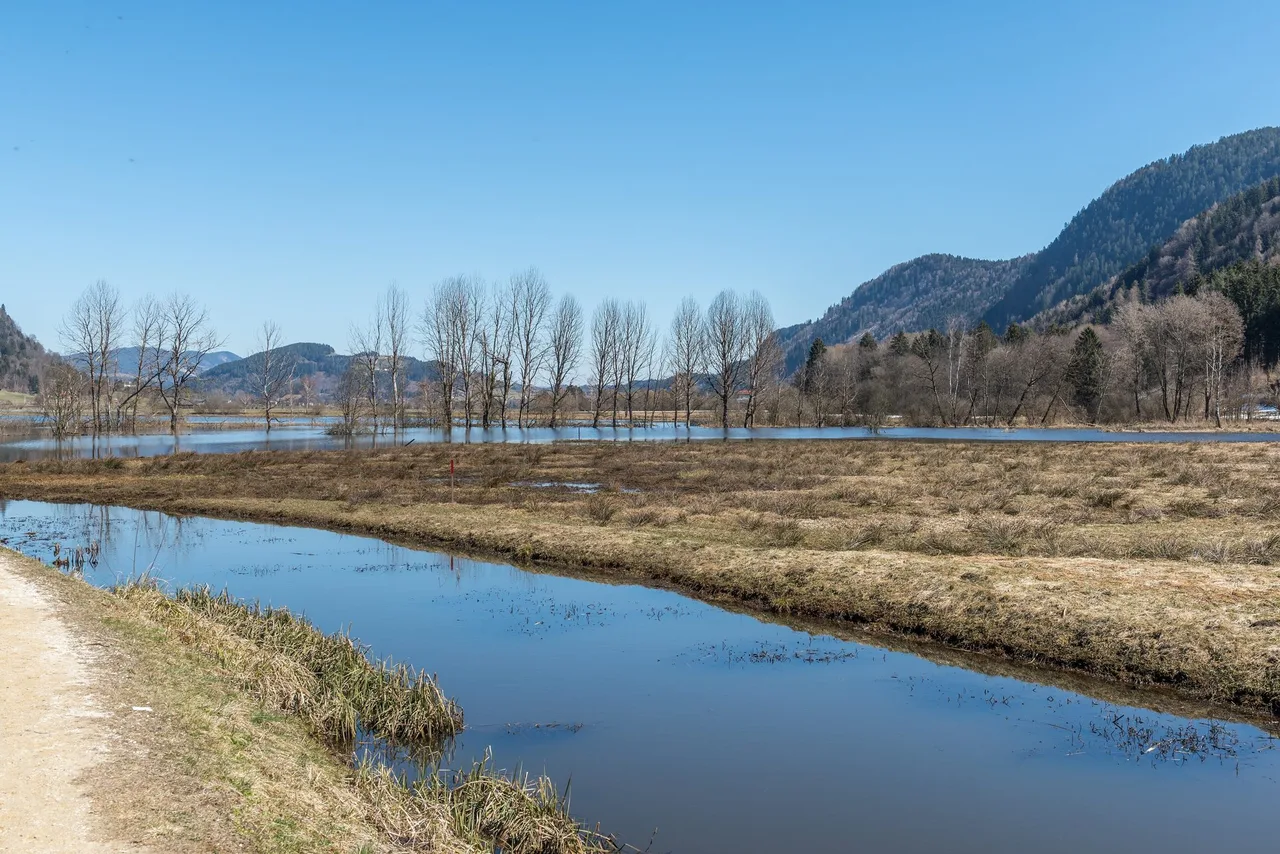
We left the village centre on the local Slow Trail. The tourism board runs four Slow Trails in the Villach region, and the only one at Lake Ossiach is the Slow Trail Bleistätter Moor, an easy 7.25 km circuit around the restored moor at the eastern end of the lake. Part of the moor lies in the municipality of Ossiach, so that is very likely the trail we followed for the first kilometres. These are well kept paths with benches and a calm pace, and they were a good way to warm up before the climb.
After the lakeside section we walked through village paths and then entered the forest. This is where the walk changes character.
The ravine trail
The official name is the Ossiach ravine trail, and the tourism board describes it as the steeper way up to the Tauern pond. It is a long run of steps and ladders beside a stream. The ground alternates between rock and packed earth. Steep sections follow gentle ones, so the effort comes in waves rather than as one long grind. Overall we found it not too hard, but it is not casual either. The steps are the point where wet weather matters most.
The pond and the ridge
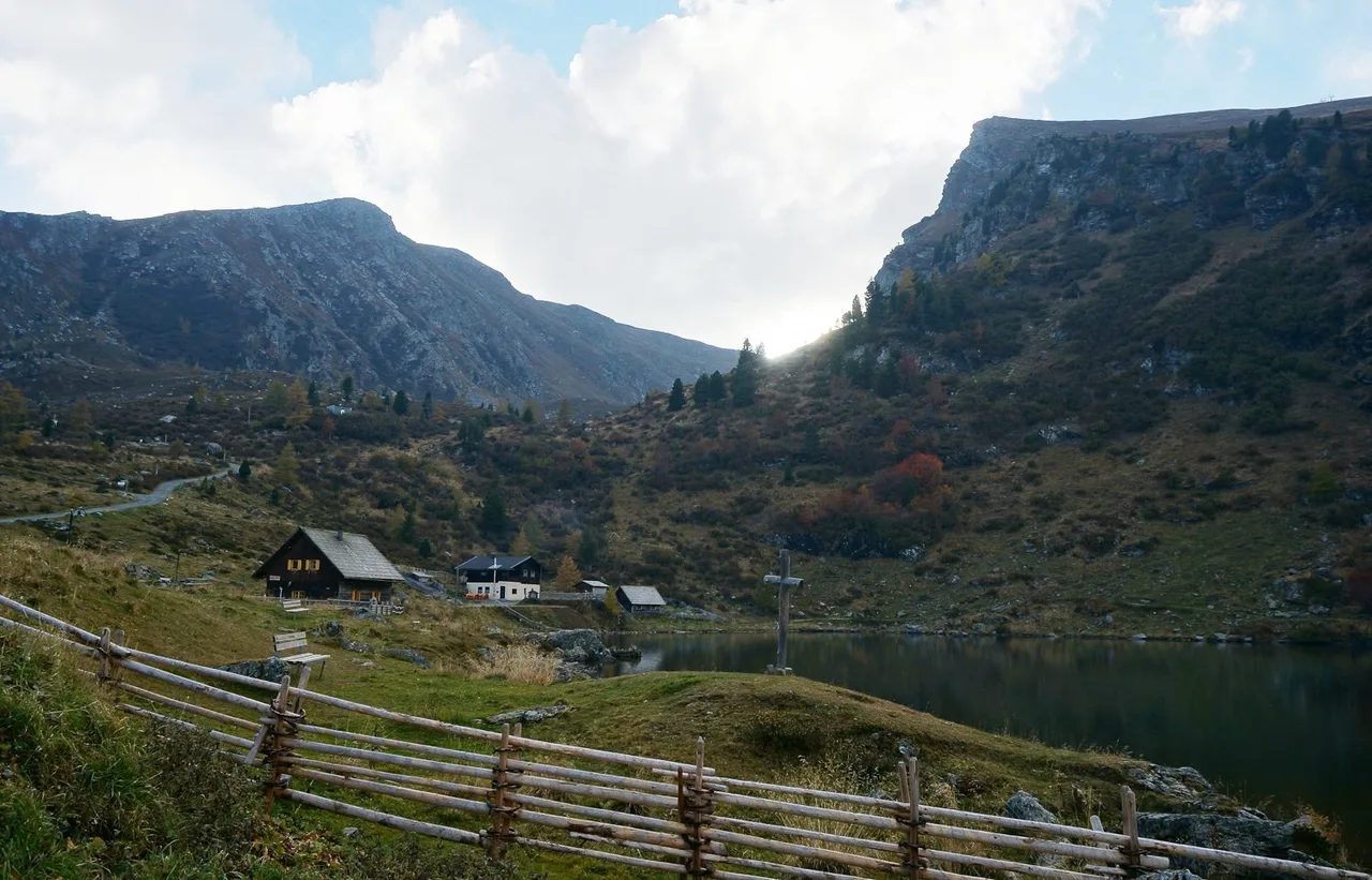
At the top of the climb we came to a small lake with anglers along the shore. The tourism board calls it the Tauern pond, and some hiking sites use the name Tauernsee for it. The official circuit takes one of two ways down: the Tauern road, or a more scenic trail. We carried on instead, through forest on ordinary paths. This part of the Ossiacher Tauern is crossed by mountain bike routes, and we met them at several points, so keep your ears open at junctions.
The ruin and the way down
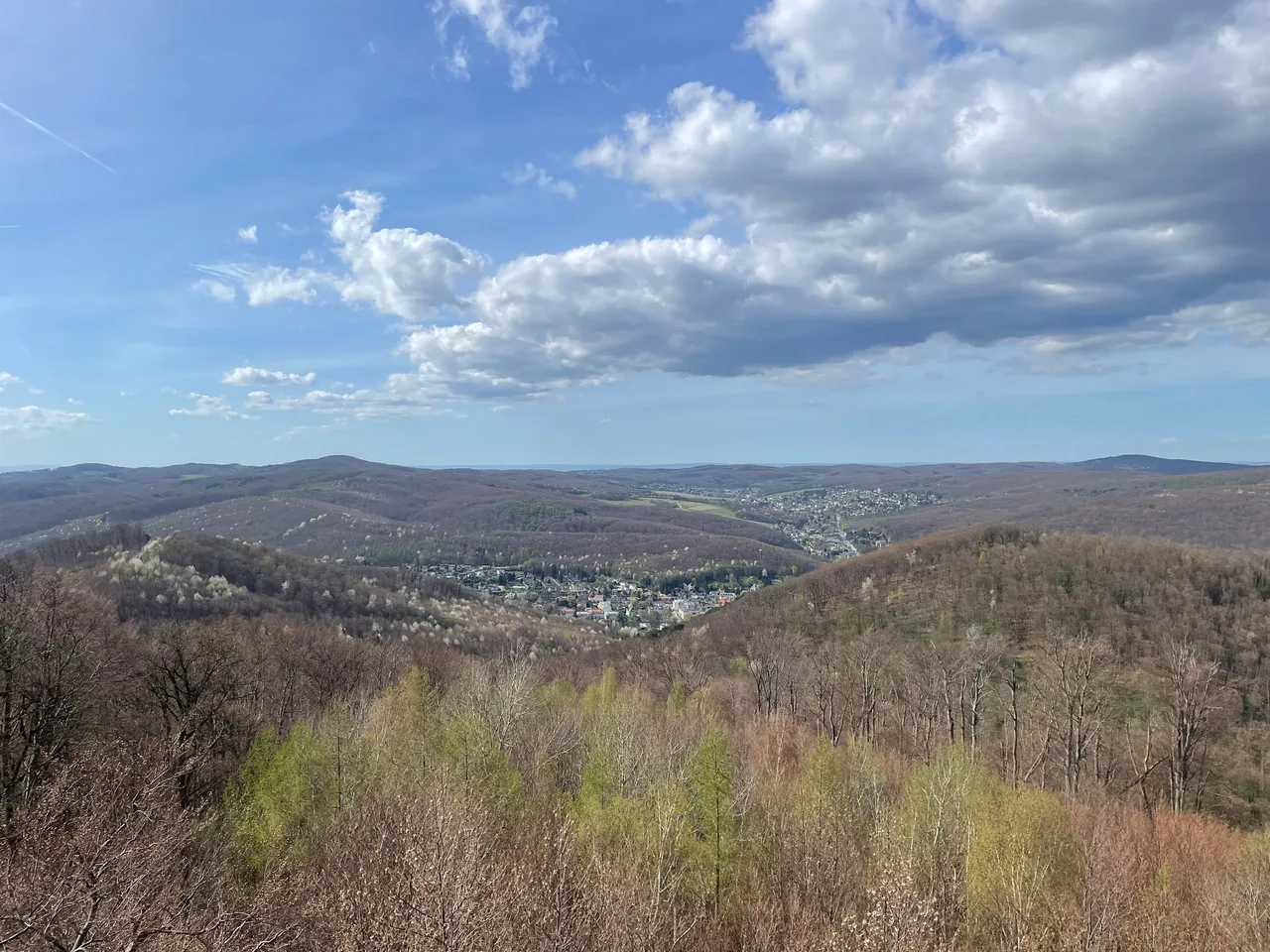
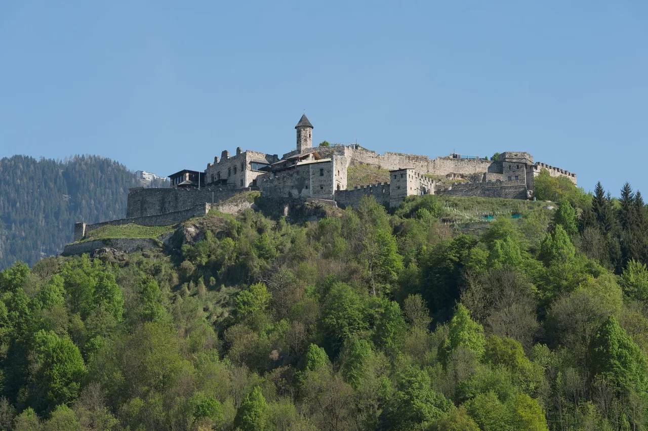
Further on there was a castle ruin with a viewpoint. Landskron, at the western end of the range, is the best known ruin in the area. The photo shows Landskron for orientation only. A few kilometres on, the trail reached a village. We ate there and later took the bus.
Map and track
There is no GPX file or route map for this walk. The tourism board publishes a map for the official circuit. If you want a navigable line, use the board's tour page for the ravine trail and plan any extension yourself.
Seasons and safety
The tourism board does not restrict the season in the text we checked, but a steep ravine trail with steps and ladders behaves very differently in winter, after heavy rain or during snow melt. Wet wood and wet rock are slippery, and a stream beside the path can rise quickly after a storm. In spring and autumn, check the weather the evening before and again in the morning. In a thunderstorm, stay off the ridge and do not shelter under isolated trees.
Our day started cloudy and stayed dry, which is the kind of day this route favours. Early starts help for two reasons: you climb in cooler air, and you finish with enough daylight to catch a bus without hurrying.
Other things to keep in mind:
- The path crosses mountain bike routes. Bikes can arrive quickly from downhill.
- The ladders and steps are fine for steady walkers but are not a place for running children.
- No huts or help points are listed along the way, so tell someone your plan and carry a charged phone.
Practical recommendations
The tourism board lists this equipment for the circuit: hiking boots with a tread sole, a backpack, functional underwear, rain gear, hiking poles, food and drink, map material, a first aid kit and a mobile phone. We agree with all of it, and poles are genuinely helpful on the way down.
Water and food: carry enough for the whole walk, because no refreshment point between the village and the end of the route is confirmed. The restaurant in the final village was welcome, but it is only useful if you know its opening times. Check them before you rely on lunch.
Accessibility: the steps and ladders on the ravine trail rule out wheelchairs and prams. For a gentler day, use the Slow Trail Bleistätter Moor, which is rated easy by the tourism board, or take the lake boat to a pier and walk the shore.
Dogs: the sources give no dog rule for the ravine circuit. Dogs must be on a lead in the protected area of the Tiebel mouth next to the moor, so keep one close if you start on the Slow Trail.
Alternatives and shortcuts: if the weather turns or you are slower than planned, walk only the official circuit and come down by the Tauern road. If you want a longer outing, the tourism board also lists a 35.2 km hike around the entire lake, which it recommends splitting over two days with boat returns. That one is hard and not comparable to this half day.
Sources and verification date
Checked on 16 October 2026: the regional tourism board pages for the Ossiach ravine trail, the Lake Ossiach trail, the region's Slow Trails, mobility in the region and arrival; the Kärntner Linien timetable portal; German Wikipedia on Ossiach Abbey and English Wikipedia on Lake Ossiach and Landskron Castle; OpenStreetMap for the village reference point.
Related routes
If you want a flat, easy walk on the same lake, read Bleistätter Moor to Feldkirchen. It starts only a few kilometres from here, covers the restored wetland, and suits a quieter day.