Who this walk is for
Planning this day took us longer than walking it. We spent more than two and a half hours on timetables, because we wanted a public transport connection that works in both directions and does not leave a group stranded in a mountain village in the evening. An earlier attempt in July fell through when the connection turned out to be far too tight, so we walked somewhere else that day. The second try worked.
The result is a high ridge walk in the Nockberge for people who like big views without rock climbing. The Nockberge are rounded, grassy summits of roughly 2,200 to 2,300 metres in the Gurktal Alps. There are no sharp walls to climb and no exposed ridges to cross on the line we describe, just long grass and bilberry slopes, streams, springs and a lot of sky. If you have walked in the Carpathians, the Svydovets or Borzhava massifs, the shapes will look familiar. That comparison came to us on the ridge, and it still holds.
The region is protected as the Salzburger Lungau and Kärntner Nockberge biosphere reserve. UNESCO describes it as the largest biosphere reserve in Austria, and the Nockberge biosphere park says it has held that status together with the Salzburg Lungau since 2012.
The area is part of the Alpe-Adria-Trail, but only for some stages. The long-distance trail has 43 stages, and the official trail site says it starts at the Grossglockner. The stretch past the lake is stage 16, from the Falkerthaus and Lärchenhütte above Sankt Oswald to Bad Kleinkirchheim. The separate 128 km Nockberge-Trail, described by Carinthia tourism, also passes here: stage 4 ends at the Falkertsee and stage 5 starts from it.
Why the hills are round
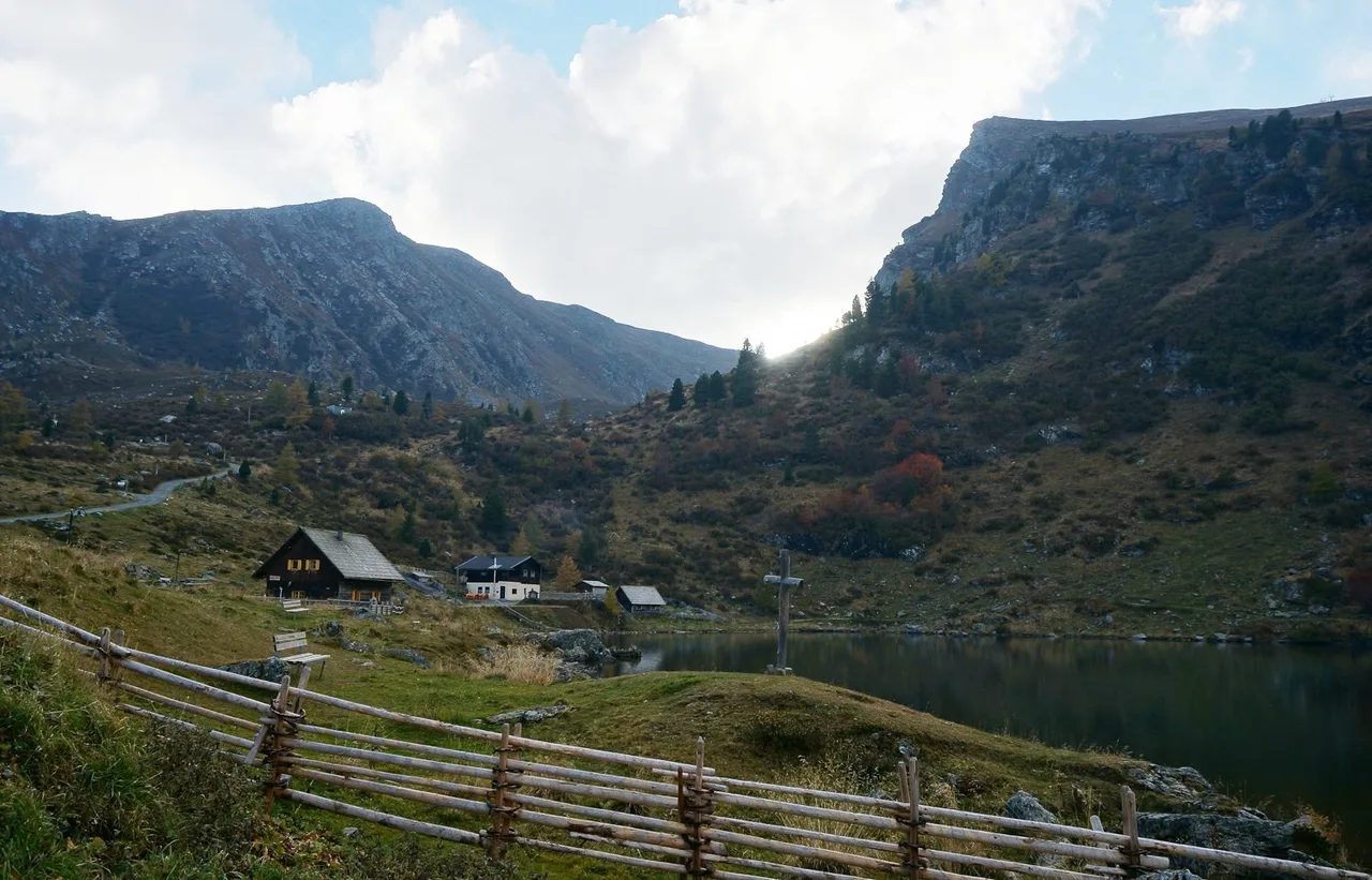
The lake probably has a glacial origin, and the bedrock under it is quartz phyllite, a layered rock that weathers into smooth shapes rather than towers (the German Wikipedia entry on the lake summarises the limnological study behind this). That is the geological reason the Nockberge look the way they do. It also explains why a ridge at 2,200 m can feel gentle: the ground is broad, the slopes are soft, and the summits are more like long shoulders than peaks. The lake is cold for swimming and modest in size, with a shoreline of roughly 900 m, so a short stroll around it is a fair way to warm up before the climb.
Key parameters
The day felt moderate, nothing needed a heavy load, and it needs basic fitness and shoes with a firm sole.
For orientation, two official figures from neighbouring routes in the same terrain:
- Alpe-Adria-Trail stage 16, as described by the trail's official booking partner BookYourTrail: 18.7 km, about 1,242 m up and 1,752 m down, listed at around eight hours. It runs from the Falkerthaus over the Hundsfeldscharte to the lake, then on over the Falkertscharte and the Rödresnock (2,310 m) to Bad Kleinkirchheim.
- Nockberge-Trail stage 5 as a ranger-led tour: 13 km with 470 m of ascent and 1,340 m of descent from the lake to Bad Kleinkirchheim, according to the biosphere park's event listing.
Our day was shorter than the first and ended in Sankt Oswald rather than the centre of Bad Kleinkirchheim. Treat both numbers as a frame, not as statistics.
Start and finish
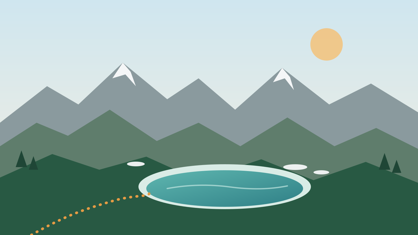
Start: the Falkertsee, a small high-mountain lake at about 1,870 m. Carinthia's lake research gives 1,872 m, regional tourism pages say 1,875 m, so we write "about 1,870 m". The lake is roughly 300 m long, about 190 m wide and up to 13 m deep. The start coordinates in the article data (46.8616, 13.8298) come from an OpenStreetMap node on the lake shore, not from a recorded track.
Finish: Sankt Oswald, a village in the municipality of Bad Kleinkirchheim. Our walk ended with pizza, beer and elderflower lemonade in a restaurant there. Restaurants here open and close with the season, so check before you rely on one.
How to get there
We arrived by bus at the lake around 9:30 in the morning, and the bus stopped almost at the water. The official regional tourism page lists a free hiking bus on exactly this corridor: Bad Kleinkirchheim, Sankt Oswald, Falkertsee. In 2026 it is scheduled daily from 13 July to 13 September, from Saturday to Wednesday between 15 and 30 September, and daily from 23 October to 1 November. On our verification date, 16 October, it was between two of those windows, so check before you plan around it.
Other options on the region's mobility page:
- Nockmobil, a shared taxi with more than 650 stops, bookable daily between 8:00 and 20:00 at least 60 minutes ahead. Details and booking are on nockmobil.at.
- Regular bus lines: line 180 from Spittal through Millstatt to Bad Kleinkirchheim, line 350 between Villach, Feld am See and Radenthein, and line 420 from Feldkirchen to Ebene Reichenau.
- Trains: long-distance services stop at Villach Hbf and Spittal-Millstättersee, and Feldkirchen also has a station. The official arrival page lists them.
Use the ÖBB timetable for the rail legs and the regional timetables for the bus. Do what we did and work out the return before you commit to the outward trip.
Route description
This is a description of the day, not a turn-by-turn guide.
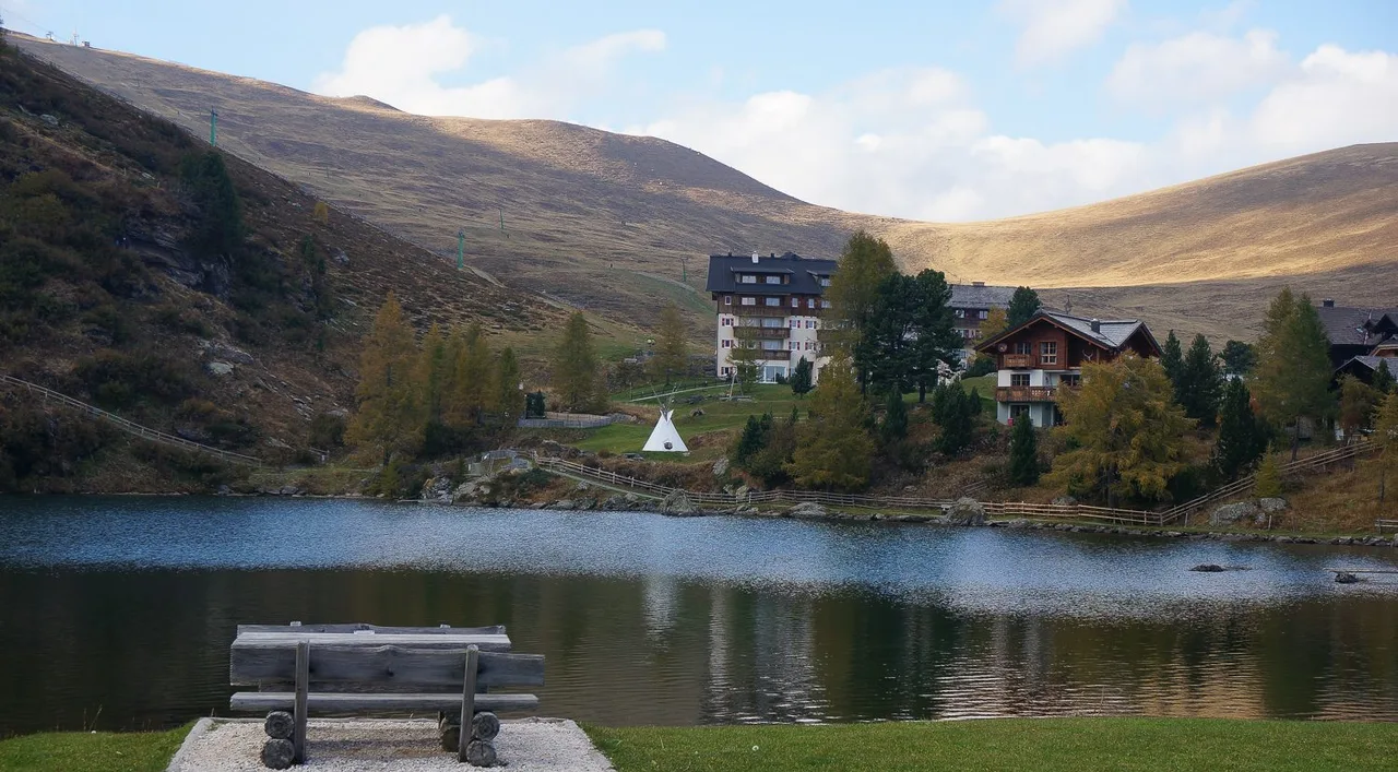
Coffee came first, at the hotel by the lake with a view over the water. Then we adjusted the poles and opened the track. The start is an ascent, and it quickly opens up into a 360-degree panorama. The slopes around are covered with bilberry fields, which is the kind of ground that makes slow walking a pleasure. A dog from somewhere joined us for about half the way and then went on with another group.
The ridge section runs at about 2,200 m. Behind and beside you the rock walls of the Falkert peak (2,308 m) stand out against otherwise soft terrain. Roe deer can be seen here on quiet days with good weather. There are several summits within reach, forests lower down, meadows, many streams and springs, and plenty of viewpoints.
The second half is downhill all the way to Sankt Oswald. After the ridge the path drops gradually, with forest and meadows on the way. In the area, OpenStreetMap shows a marked path 161 from the Brunnach upper station to the Falkerthaus and a road called the Falkertweg connecting Sankt Oswald with the Falkerthaus.
There is no sharp rock and no steep wall on this line, only wide ridges and open ground. The path is long rather than difficult.
Map
No track is provided on this page. Use the official regional hiking map from the Bad Kleinkirchheim tourist office or the Alpe-Adria-Trail stage maps and keep the Falkertsee and Sankt Oswald as your two fixed points.
Seasonal conditions and safety
Regional tourism gives mid-May to October as the season for the long-distance trails in this region. The high ridge is exposed to weather, with no shelter on the open sections, so a thunderstorm forecast is a reason to change plans, not to hurry. Slopes can hold snow early and late in the season, and short days in October make a connection back from Sankt Oswald a real constraint.
The Falkert peak itself is a different kind of outing. The regional tourism page notes that walkers on the Sonntagstal section share it with climbers looking for exposed rock, and Carinthian tourism lists a via ferrata on the Falkert that opened in 2009. Our ridge day does not include that. Summit scrambling is separate from what we describe.
In winter the Falkert is a family-sized ski area. The official Heidi Alm page speaks of 12 km of pistes, and the bigger ski area in the region is Bad Kleinkirchheim next door.
Practical recommendations
- Water: there are many streams and springs, but we would still carry water from the lake or the hotel.
- Footwear: shoes with a firm sole. Trail shoes are enough on dry days.
- Poles: we adjusted ours at the lake before starting, and the long descent is where they earn their weight.
- Swimming: the north shore has a free access to the lake, described by regional tourism as the highest free lake access in Carinthia. The water rarely rises above 13 °C even in midsummer.
- Dogs: keep your own dog under control, especially near grazing animals.
- Shorter option: the lake alone, with the family trail around the Heidi Alm, if the weather turns.
- Longer option: add the Falkert summit only if you are comfortable with steep, rocky ground.
- Return: write down the last bus and the taxi number before you leave the lake.
Sources and verification date
Checked on 16 October 2026 against UNESCO, the Nockberge biosphere park, Carinthia tourism, the regional tourism site for Millstätter See, Bad Kleinkirchheim and Nockberge, the Nockmobil site, the Alpe-Adria-Trail site and its booking partner, the Carinthian lake research institute figures quoted on Wikipedia, and OpenStreetMap. Hiking bus dates and Nockmobil rules change every season, so confirm them on the day.
Related content
- Pasterze glacier walk: the other Carinthian high-mountain day, with a very different kind of landscape.
- Lake hikes around Nassfeld: a comparison of the official lake tours in the Carnic Alps.