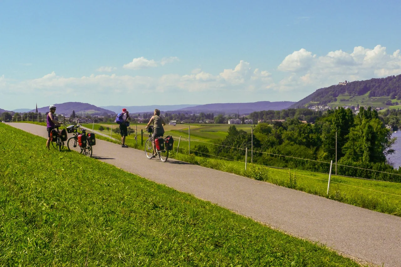
A name, a network and a promise to read carefully
EuroVelo is not one road with one surface. It is a trademark of the European Cyclists' Federation (ECF) for a network of long-distance cycle routes, and only routes approved by the ECF may carry the name. National, regional and local bodies build and maintain the actual paths, so quality changes from section to section, sometimes within a single day's ride. If you are planning your first multi-day tour, understanding that one fact will save you more trouble than any gear list.
Everything below comes from the EuroVelo website and its official guides, read on 16 October 2026. Where a number differs between two official pages, both are given.
The network in numbers
The network has 17 routes of at least 1,000 km each and more than 90,000 km in total. The first 12 routes were designated in 1995 and the initiative was officially launched on 21 November 1997 in Logroño, Spain. For the coming decade the ECF says the focus is quality improvement, not extra length, and newer routes may only join if they are already well developed. As of 2026, over 53,300 km across 26 countries carry EuroVelo signs, which is about 58% of the network.
A new proposal appeared in June 2026: a future EuroVelo 21 would link Belgrade to Shkodër through Bosnia and Herzegovina and Montenegro, connecting the Danube with the Adriatic. It is a plan, not a route you can ride today.
Reading the colours before you read the stages
The route maps use a colour code that is worth learning before you choose anything:
- Dark green: certified EuroVelo, meaning a full route or a section of at least 100 km passed the ECF's European Certification Standard. This is the highest quality level.
- Bright green: developed and signed with EuroVelo signs. Generally good conditions, continuity, limited motor traffic and rideable surfaces. In practice this ranges from segregated tracks to quiet rural roads.
- Light green: developed but without EuroVelo signs.
- Dashed yellow and dashed orange: partially developed, with or without signs. These can mean shared roads with more traffic, or rough forest gravel.
- Dashed grey: undeveloped or unknown conditions.
- Thin black lines: public transport links, meaning stretches you can skip by taking your bike on a train, bus or ferry.
The ECF's own advice maps these to riders. Families and beginners should look at the certified (dark green) stretches. Most cyclists will be happy on developed routes with short rough patches of up to 5%. Partially developed sections are for experienced riders who accept more traffic or rougher surface, and grey sections are for the adventurous.
Six routes for a first tour
All figures come from the route pages on EuroVelo.com.
- EuroVelo 15, Rhine Cycle Route: 1,450 km through six countries (Switzerland, Liechtenstein, Austria, Germany, France, the Netherlands). The official guide calls the elevation profile almost negligible and says 1,287 km are certified, of which 73% suits all kinds of cyclists, including families and people using cargo bikes or trailers. The ECF recommends it, with EuroVelo 1, as a first long tour.
- EuroVelo 6, Atlantic to Black Sea: 4,700 km on the route page, though the ECF's FAQ quotes 4,448 km for the same route, so treat the length as roughly 4,500 km. It follows the Loire, the Rhine and the Danube through 10 countries, including Austria. The FAQ describes it as fully signposted between France and Serbia.
- EuroVelo 17, Rhône Cycle Route: about 1,000 km in two countries, Switzerland and France.
- EuroVelo 19, Meuse Cycle Route: 1,050 km across France, Belgium and the Netherlands, tagged "easy rides for family".
- EuroVelo 1, Atlantic Coast Route: 10,650 km through six countries; in 2026 the French section, known as La Vélodyssée, is certified. The route was extended to Galicia in April 2026.
- EuroVelo 12, North Sea Cycle Route: 7,250 km through eight countries.
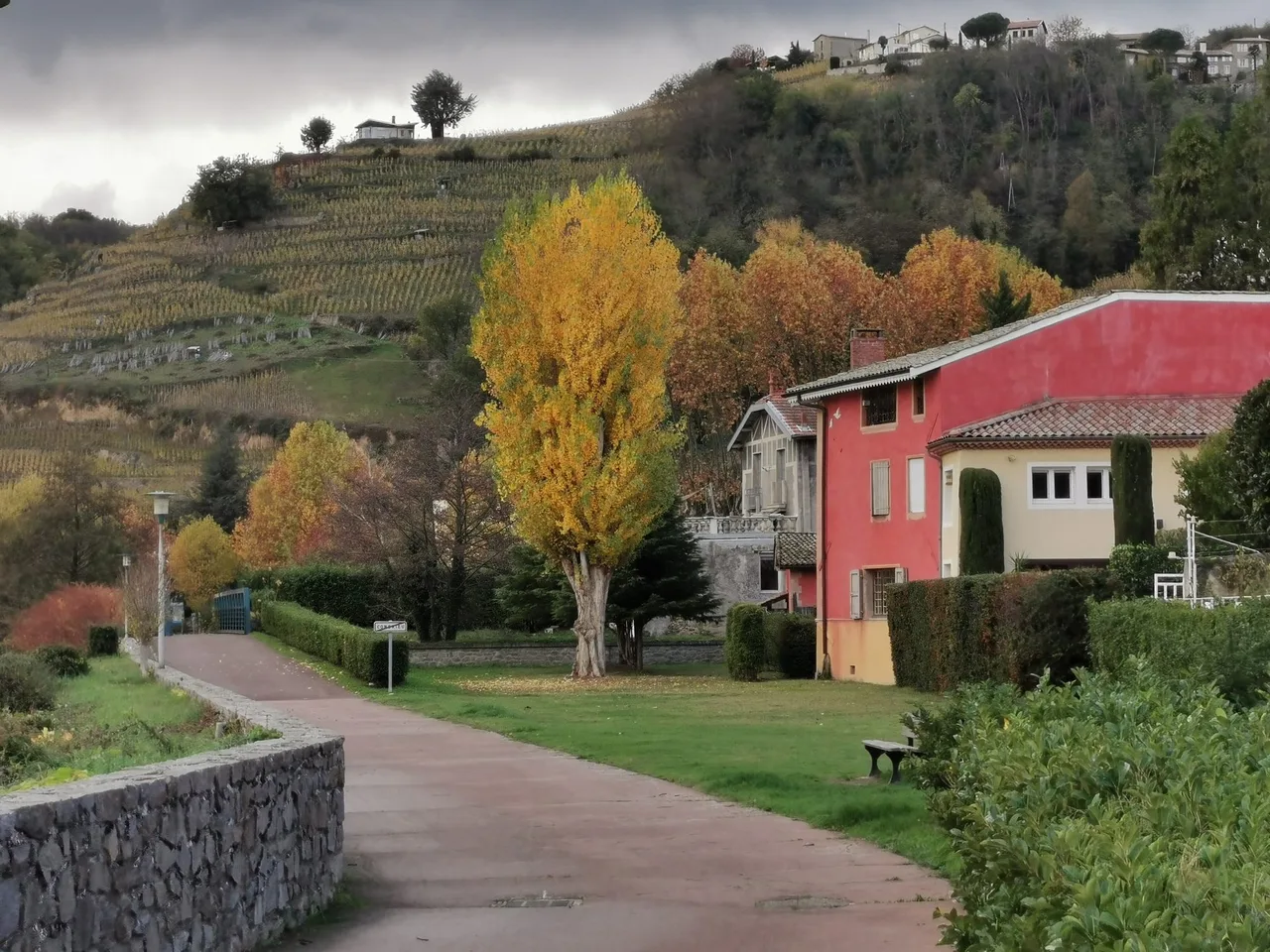
What the Rhine looks like on paper and on the ground
The Rhine route starts in the Swiss village of Andermatt. The official guide says cycling in Switzerland suits March to October, but if you start at the very first kilometres, especially between Andermatt and Chur, wait until May for the snowmelt. It adds that the section from Andermatt to Breil/Brigels is advised only for experienced cyclists, because it follows mostly mixed and high-traffic roads. The German part is best from April to September. Because bridges and ferries cross the river often, you can ride on either bank and switch sides as you go.
The April 2026 guide also warned that Deutsche Bahn had closed the Hochrhein railway between Rheinfelden and Erzingen for several months and that bikes could not travel on the rail replacement bus. A cross-border bike-sharing service was promised from May 2026. That is a good example of why you check the current situation before you leave.
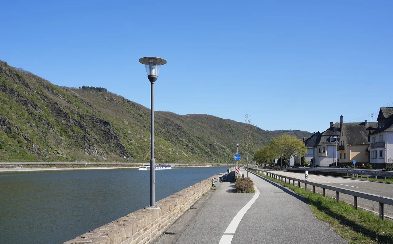
How the long routes are cut into stages
You do not have to think in thousands of kilometres. The route pages split each line into stages with their own maps. The Rhine route has seven: from the source of the Rhine to Lake Constance, Lake Constance to Basel via the Rhine Falls, Basel to Karlsruhe through Alsace and the German vineyards, Karlsruhe to Bingen, Bingen to Cologne through the Romantic Rhine, Cologne to Arnhem, and Arnhem to the North Sea on the Rhine delta.
EuroVelo 6 has nine: Nantes to Nevers, Nevers to Basel, Basel to Ulm, Ulm to Passau, Passau to Vienna, Vienna to Budapest, Budapest to Belgrade, Belgrade to Giurgiu/Ruse, and Giurgiu/Ruse to Constanta. The ECF's own FAQ says that the most popular routes follow major rivers, the Rhine, Meuse, Loire and Danube, because their flat valleys combine well with good infrastructure. For readers in Austria, both EuroVelo 6 and EuroVelo 15 pass through the country, so a first tour does not have to start with a flight.
Planning tools worth using
The EuroVelo Route Planner can show the development status of each section, and it now lets you download an entire route as a single continuous GPX track. The GPX files are released under the Open Database License, with a disclaimer that the track includes undeveloped parts and can contain errors or outdated information. Read the "how to use" and licence documents the site links to before you trust the file on a bike computer.
On bikes, the ECF advises touring or trekking bikes for all routes, since even realised sections can include gravel or dirt tracks. It says EuroVelo routes are not developed for road bikes. For maps and guidebooks, the route pages list national sources and tour operators, and the national EuroVelo coordination centres are the place to report problems on the ground.
A sensible way to build a first trip
- Pick a certified or developed stretch rather than a famous name. A good week on part of EuroVelo 15 beats a frustrating one on a route that is mostly grey.
- Check the stage page, the colour of each section, and any news item for closures.
- Plan daily distances from what you already ride comfortably, and add margin for headwinds and ferries.
- Decide how you will handle the thin black lines on the map if you hit a gap: train, bus or ferry.
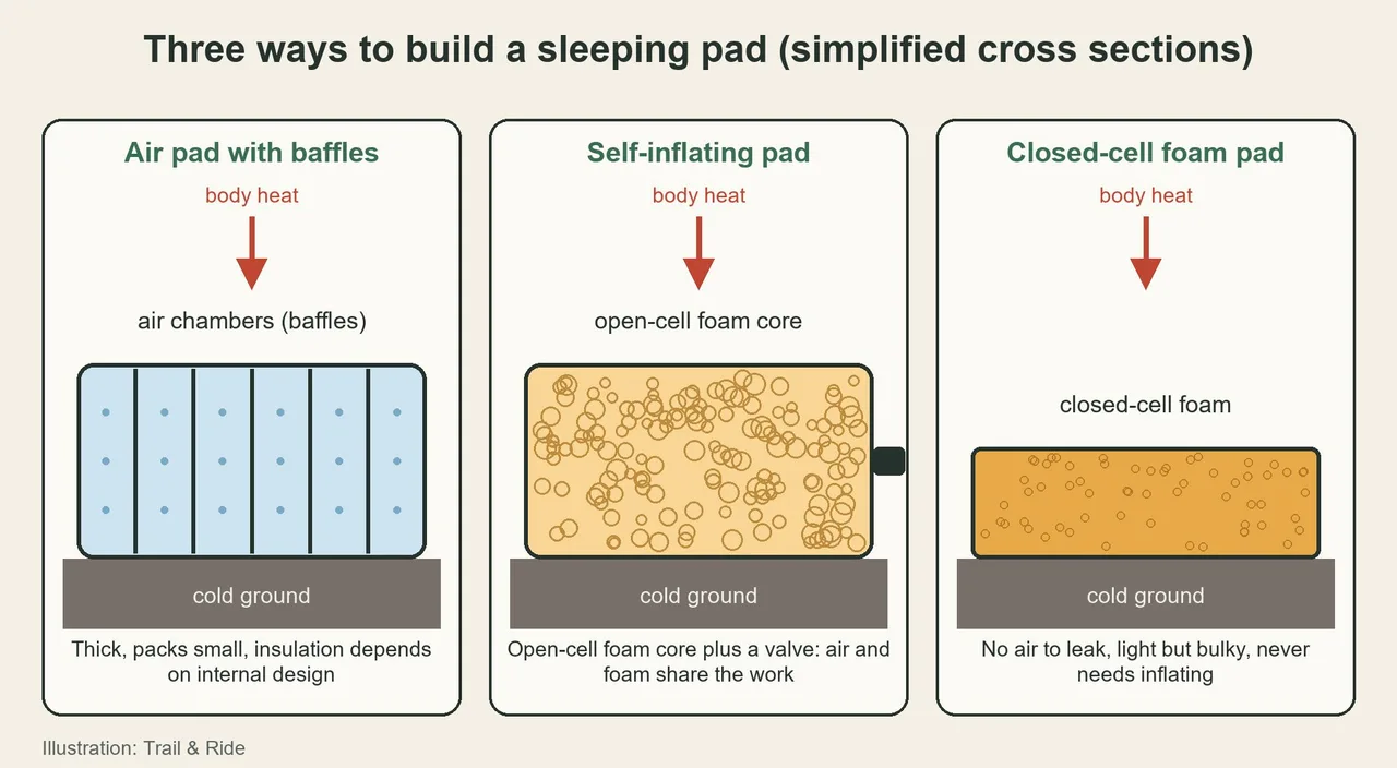
- If you plan to camp, see the guide to Sleeping Pads for Trekking.
Sources and verification date
Facts were checked on 16 October 2026 against EuroVelo.com: the home page, the practical information and FAQ page, the route pages for EuroVelo 1, 6, 12, 15, 17 and 19, and the guide to cycling EuroVelo 15 published on 23 April 2026. The licence for GPX tracks is the Open Database License. Photos are from Wikimedia Commons under open licences credited below each image.