A quiet summit with a railway station at its foot
Most people who step off a train at Spital am Semmering are heading for the Stuhleck, the big ski mountain on the other side of the valley. The Kampalpe, a lower peak facing it across the valley, gets far fewer boots. It is 1,535 m high, it sits on the border between Lower Austria and Styria, and the German-language Wikipedia article describes it as a little-visited peak with a marked normal route. That is exactly its charm. You get a proper mountain day, a long forest climb and an open top with a view, without queues or lift stations.
We walked it as a loop from the station: up by the gentler of the two marked paths, down by the direct and much steeper one. The most important practical point is the ticket. Spital am Semmering is in Styria, not in Lower Austria, and that changes which regional pass covers the train ride (details below).
Key parameters
The numbers below describe a loop assembled from marked paths in OpenStreetMap. The distance is measured along those paths, the elevation values were computed from the open SRTM elevation model and rounded, and the summit height is the published one.
- Length: about 8.8 km (4.9 km up, 3.9 km down)
- Walking time: roughly 4.5 hours with a short summit break. On our trip the ascent took 2.5 to 3 hours and the descent up to one hour. Fitter walkers will be faster.
- Climb and descent: about 750 m each. The station lies at 789 m, the summit at 1,535 m.
- Difficulty: moderate. Basic fitness is enough for the ascent; the descent is steep and needs a steady foot.
- Type: loop, starting and ending at the same railway station
Start and finish
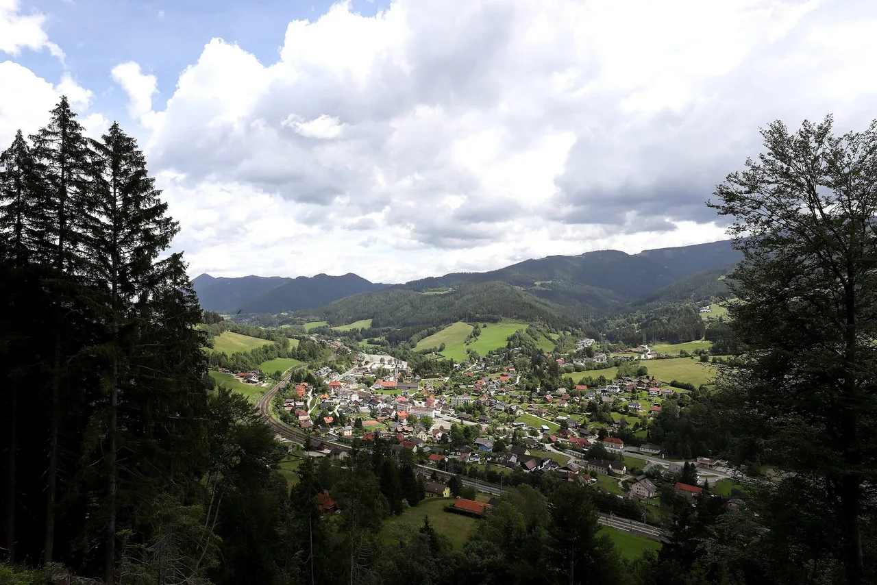
Start and finish are the same place: Spital am Semmering railway station (about 47.6164 N, 15.7480 E, 789 m). A drinking-water point mapped in OpenStreetMap lies in the village about 350 m from the platform, which is handy for topping up bottles before the climb.
The first waymarks begin almost at once. For the ascent, one documented option is the path numbered 20, signed Spital am Semmering to Saurücken to Kampalpe and marked red-white-red; OpenStreetMap records a guidepost on Obere Bahnstraße about 400 m from the station.
How to get there
By train. ÖBB regional trains run over the historic Semmering line through Gloggnitz, Semmering, Steinhaus am Semmering and Spital am Semmering to Mürzzuschlag. In published timetable data the stopping service carries the line number R91. Some departures start in Wiener Neustadt Hauptbahnhof, which is how we travelled, while others start further along the line or need a change, so check the exact connection for your day in the ÖBB timetable or the VOR journey planner. The ride from Wiener Neustadt is typically around an hour, but confirm it in the timetable.
Which ticket covers the ride
A regional pass for Burgenland and Lower Austria does not cover the whole ride:
- The VOR KlimaTicket Region is valid on VOR lines in Lower Austria and Burgenland only. Semmering station is the last stop on the Lower Austrian side (Styria Tourism says the Styrian section of the railway walking trail starts at the southern end of that station), while Steinhaus am Semmering and Spital am Semmering belong to the municipality of Spital, which is in Styria.
- A regional Lower Austria ticket therefore stops being valid before you reach the start of the walk.
- Three options cover the full ride: the nationwide KlimaTicket Ö (listed by klimaticket.at at EUR 1,400 for the standard version), the KlimaTicket Steiermark in combination with a VOR ticket for the Lower Austrian part (the VOR site describes this pairing for Burgenland commuters), or a normal single ticket for the stretch beyond the border. The Verbundlinie page confirms that the Styrian pass applies on Styrian network lines.
If you drive instead, check the parking rules in the village first. The station is the better start anyway: the loop ends at the same door it starts from.
Route description
Up: the gentler option (4.9 km, about 740 m of climb). From the station, walk through the lower part of the village and follow signposts for the Kampalpe onto Obere Bahnstraße. The first 400 m are asphalt. After that the route turns into a forest track and stays on tracks and narrow paths for the rest of the climb. Roughly the first kilometre ends at 900 m of altitude, the second at about 1,075 m, the third near 1,265 m, so the gradient is steady rather than brutal. This is the "almost a traverse" feeling we noticed: the path slants across the hillside instead of heading straight up, which is why it is longer but kinder.
OpenStreetMap classifies most of the ascent as plain hiking terrain, with a few short sections of mountain hiking. The surfaces are mapped as natural ground and unpaved track.
At about 2.75 km, around 1,200 m, the path passes the Franziskaquelle, mapped as a spring, with a bench a few steps beyond. This was the only water source we found on the way up. After it the trees thin out, the path narrows, and the last stretch crosses open ground to the summit area.
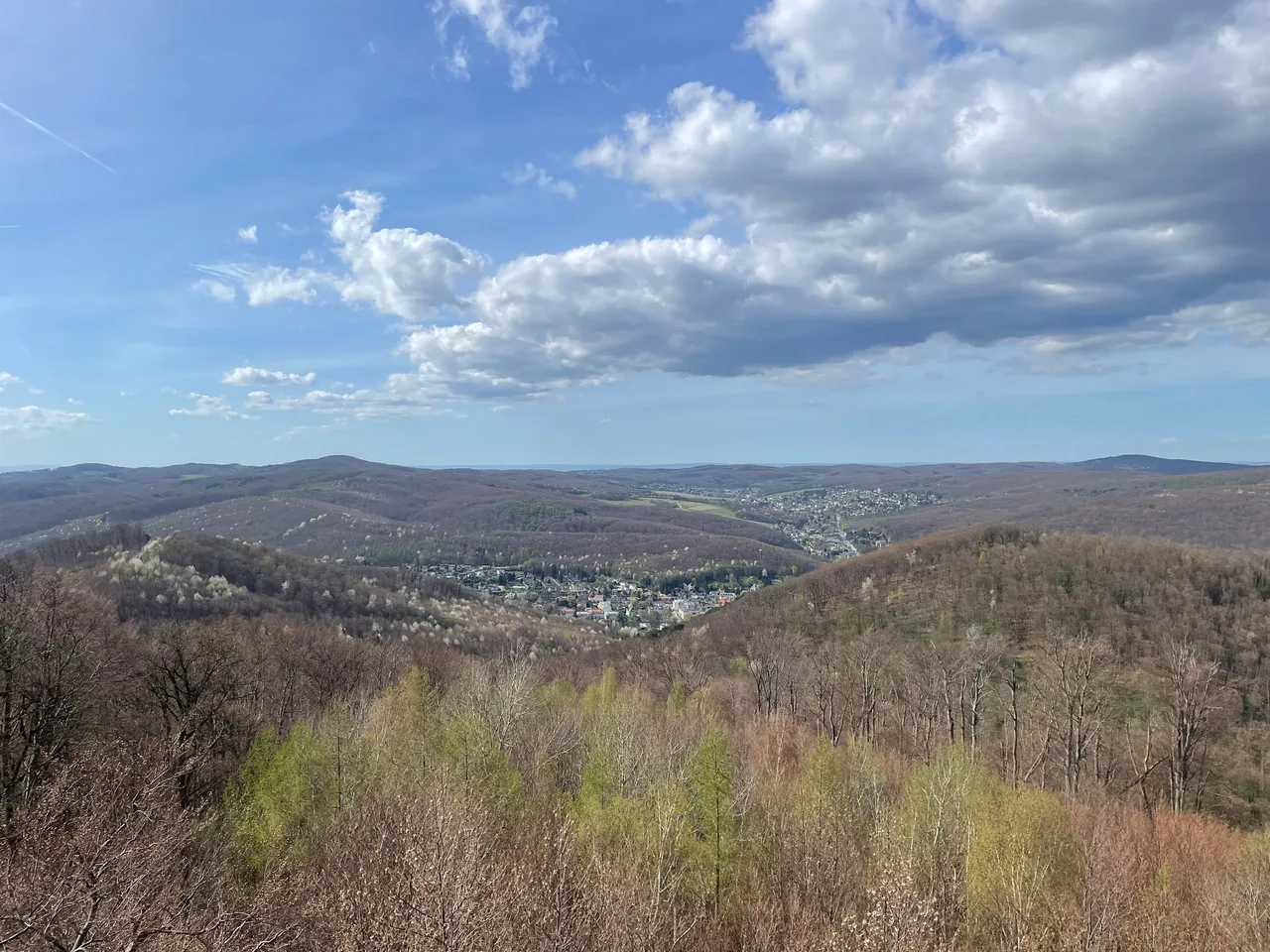
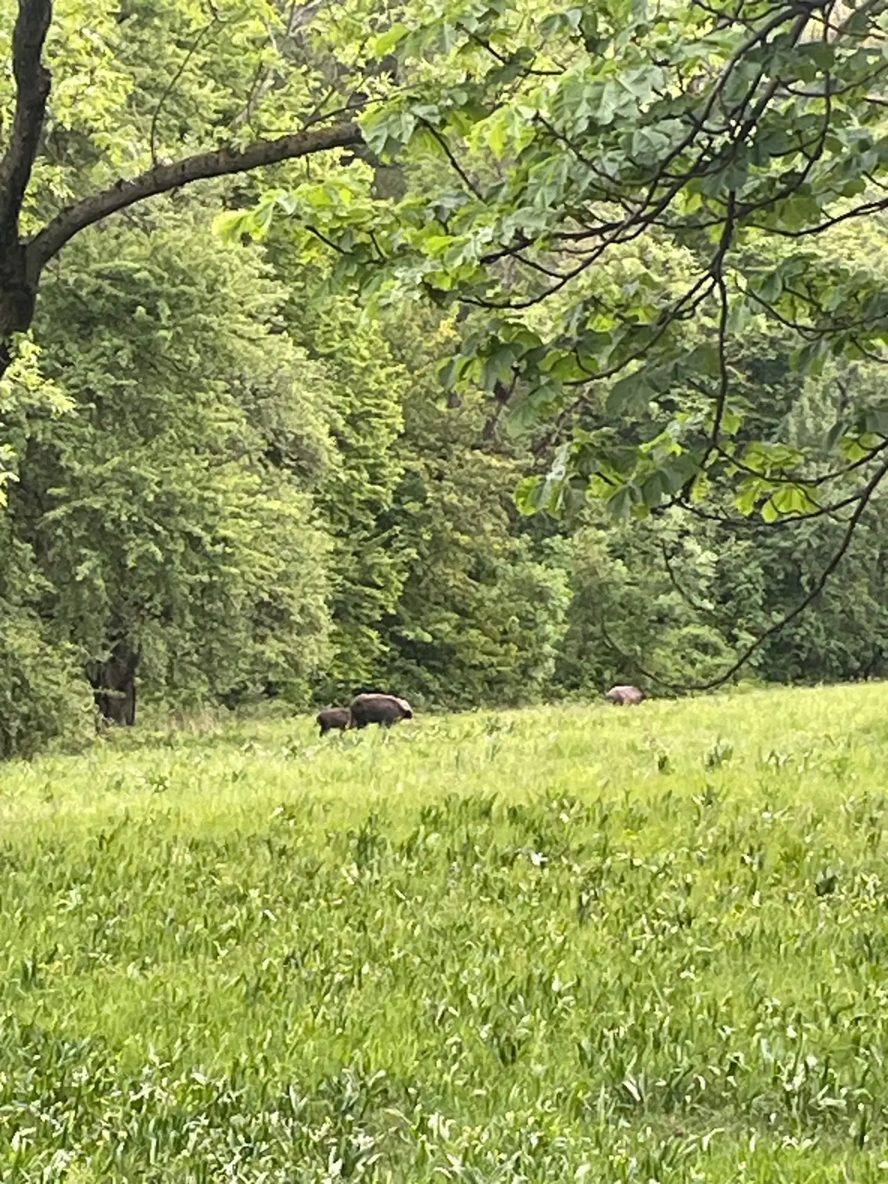
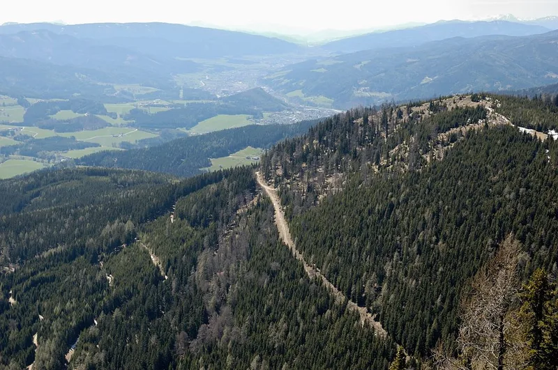
Along the way, small clearings gave us views of villages in the Semmering area and of wind turbines on distant ridges. We met very few people, and cows were grazing near the top.
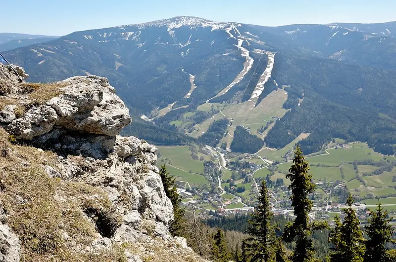
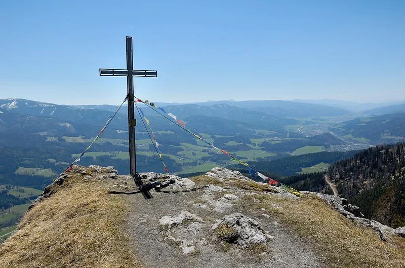
The top. The summit cross and the summit register stand a little below the highest ground; OpenStreetMap puts the cross about 170 m from the point where the 1,535 m summit is mapped. The open plateau can be hot in summer and windy in cooler weather, because there is no shade. Across the valley the Stuhleck fills the horizon, with its ski runs showing as pale lines on the slope.
Down: the direct option (3.9 km, about 730 m of descent). One documented option for the return is the red-white-red marked path known as the Probststeig, part of the route Steinhaus to Kampalpe. For about 1.3 km it is a narrow forest path that OpenStreetMap tags as demanding mountain hiking (SAC scale T3). It drops fast, roughly 190 m in the first kilometre, and it is where poles help most. Below it, the descent eases onto forest paths that pass beside the small peak Bärenwand (1,047 m). The last section follows quiet village streets (Hochweg, Dorfblick, Untere Bahnstraße) to the station.
We spent up to an hour on the way down. Take it slowly, especially on wet leaves.
Map
A GPX file of the loop is attached for download.
Kampalpe loop GPX (OpenStreetMap paths, SRTM elevation)
It is assembled from the OpenStreetMap paths described above (map data by OpenStreetMap contributors, ODbL), with elevation added from SRTM, and it shows the two documented options. Treat it as a planning aid and follow the actual markings and signposts on the ground.
Seasonal conditions and safety
Wikipedia lists the tour as unproblematic in all seasons, with good winter equipment necessary when snow lies. Our own recommendation is stricter for this particular loop:
- Wet ground, fresh snow or ice make the Probststeig a poor descent. In those conditions, go up and down by the longer, gentler path instead.
- The top is open and exposed. If thunderstorms are forecast, start early or choose another day. Plan for little shelter near the top.
- Summer heat: the climb is mostly in forest, but the last section and the summit plateau are not.
- Autumn light fades early. Calculate the last safe departure from the summit and keep a margin before the last train.
Emergency numbers: mountain rescue in Austria is 140, ambulance 122, and 112 works across the EU. There is no hut at the summit.
Practical recommendations
- Water: carry at least 1.5 litres per person. The only mapped water source on the ascent is the Franziskaquelle. We treat any mountain spring as untested and do not rely on it for drinking. The village has a mapped drinking-water point before you start.
- Food: bring everything. The summit has no inn. According to Wikipedia, the hut to the east (Pinkenkogel Schutzhaus) is closed and the Scheibenhütte to the west is simply managed on weekends from April to October, each about 2.5 hours away. Check before you plan around them.
- Footwear: shoes with a firm, grippy sole. Poles help on the descent.
- Accessibility: not suitable for prams or wheelchairs. The ascent suits children who walk long distances; the Probststeig does not suit small children.
- Cattle: cows graze near the top in season. Keep your distance and keep dogs on a short lead.
- Shorter option: turn around at the spring for a return walk of about 5.5 km and 420 m of climb.
- Alternatives down: back down the gentler path (no steep section), or follow the red-white-red path in the other direction to Steinhaus am Semmering (5.3 km of marked path from the summit area), where a train halt lets you ride back to Spital. OpenStreetMap also records a route from Semmering over the Ochsnerhöhe to the Kampalpe, but it is flagged as incomplete there, so it is not described here.
A short reflection
On the summit the valley looks very small, and so do you next to the mountains around it. We came down with a plain thought: a steady pace is enough to reach almost any top.
Sources and verification date
Facts were checked on 16 October 2026 against: the Wikipedia articles on Kampalpe, Spital am Semmering and the Semmering railway; OpenStreetMap relations for Weg 20 (Spital am Semmering to Kampalpe) and Steinhaus to Kampalpe, plus path attributes; the VOR KlimaTicket page; the Verbundlinie KlimaTicket Steiermark page; klimaticket.at; the Austrian federal portal oesterreich.gv.at; and the Styria tourism route page for emergency numbers. Elevation values come from the SRTM 1 arc-second model served as open terrain tiles. Timetables and ticket prices change, so confirm them before you travel.
Related content
If you like walks that start from a train station, see From Vienna to the Vienna Woods: A Spring Walk Without Complicated Planning and Viewpoints, Wildlife and Fresh Air in the Vienna Woods.