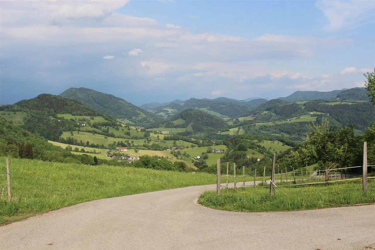
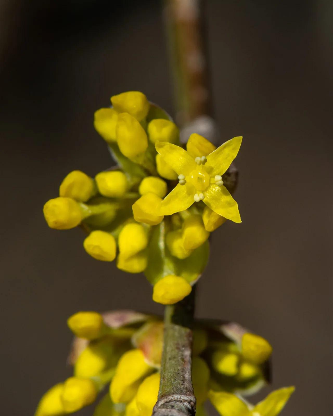
A shrub that flowers before it has leaves
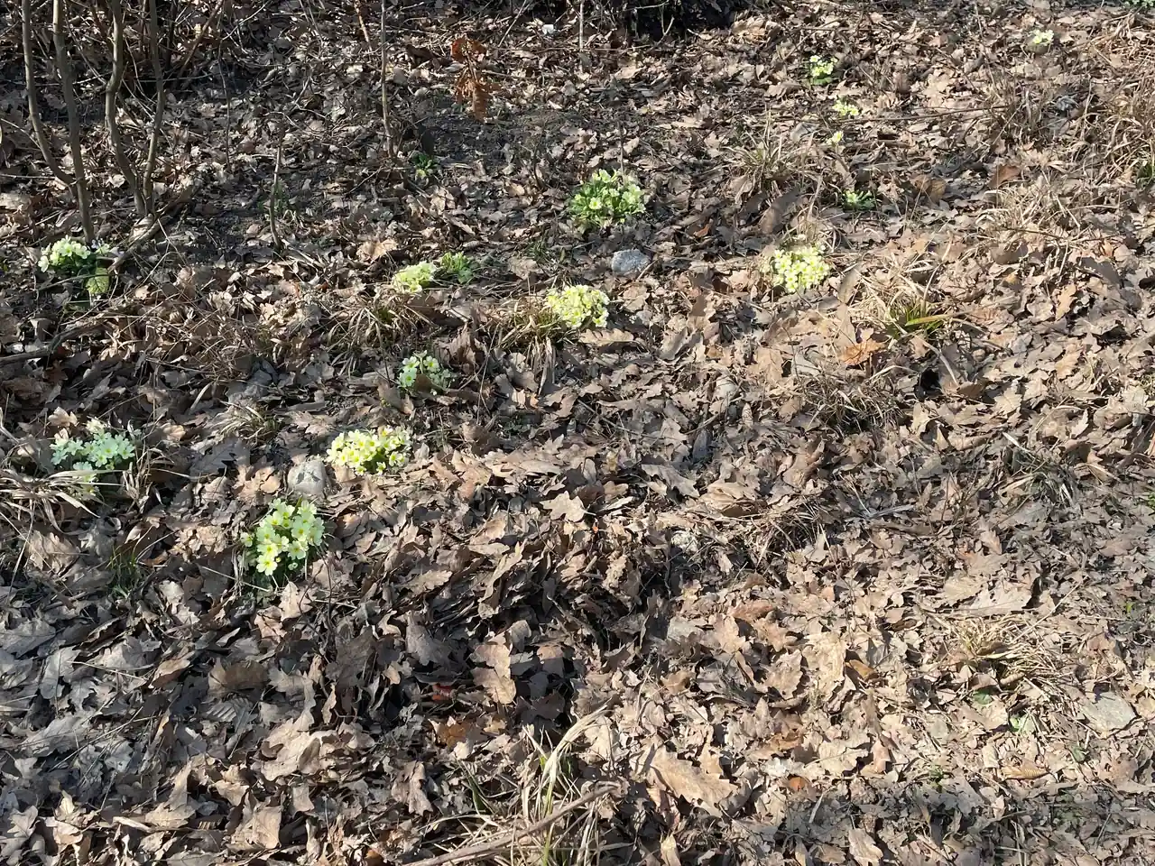
In the Pielachtal, spring begins with a yellow haze on bare branches. The Dirndl, also called the cornelian cherry, blooms from the end of February or the beginning of March, long before the leaves appear. The valley markets itself as the Dirndltal, the valley of the Dirndl, and counts about 70,000 of the shrubs. Kirchberg an der Pielach, the main town of the inner valley, makes a good base for seeing why.
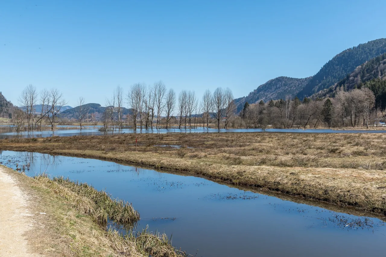
This guide is about an easy walk of about 12.5 to 15 km with little height change, crossing meadows, pastures, forest and farming villages and passing the Dirndl orchards, with panoramic views over the Mostviertel in good weather. No single official listing matches that description exactly; the closest one is used here.
Brief description: who this walk is for
This is a half-day loop on roads and tracks for walkers who like gentle country, farm views and a destination with a snack at the end. The closest official match is the Dörfl auf der Eben route: a 13.65 km loop that starts and ends at Kirchberg station, climbs about 280 m in total and is rated medium by Mostviertel Tourismus. It is listed there as a mountain-bike route, with a winter closure for bikes from 1 November to 14 April, but it follows public roads and farm tracks that can be walked. The Pielachtal regional office also guided a Dirndl blossom walk in and around Dörfl auf der Eben on 22 March 2026, which tells us the area is normal walking ground in early spring.
A word on that "little height change". 280 m over 13.65 km is gentle by Alpine standards, but it is not flat, and the official rating is medium. Underfoot it is easy. We would call the effort moderate.
The fruit behind the name
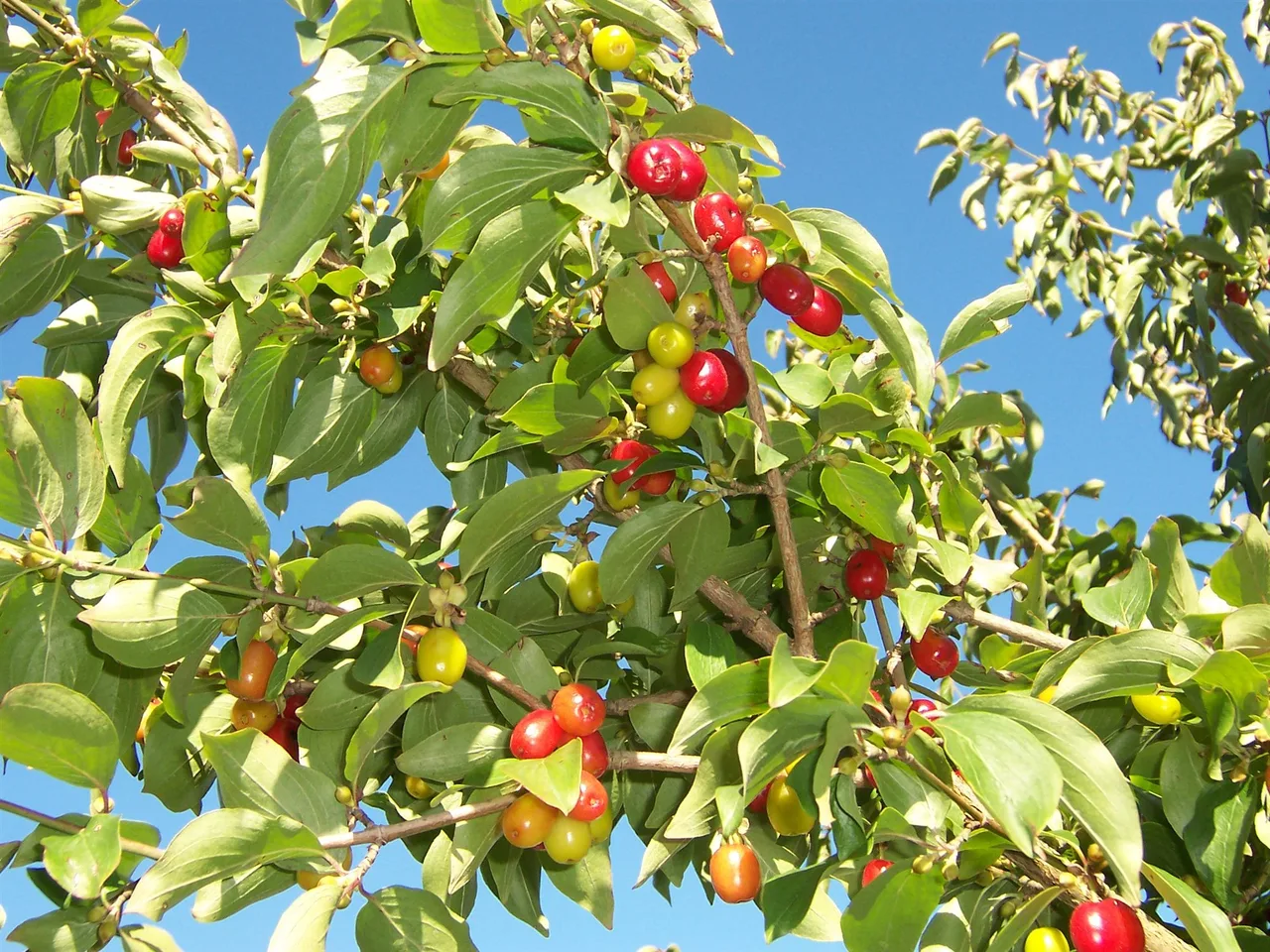
The name has nothing to do with the traditional dress. The Dirndl is the red, sweet-sour fruit of a shrub that grows wild across the valley, and the regional office stresses that the "wild Dirndl", the unrefined original form, is the one the region is proud of. Some of the bushes are very old. People have processed the fruit here for centuries, and today it turns up as jam, syrup, liqueur and brandy, and in the kitchen of local restaurants. In 2003 the Dirndl was chosen as the region's brand fruit, and since 2004 a Dirndl queen and a Dirndl princess have represented it at events.
Kirchberg is a good place to meet the producers. The first Dirndl manufactory and distillery, Fuxsteiner, sits at Tradigistgegend 17, on the loop below, and the Dirndlhof is one of the places to eat in town. Opening hours for visitors vary, so contact them before you plan a stop.
Key parameters
- Length: 13.65 km (Dörfl auf der Eben loop, per Mostviertel Tourismus).
- Ascent: about 280 m.
- Duration: the listing gives 1 hour, but that is a cycling time. On foot, plan an afternoon, and add stops. There is no verified walking time.
- Difficulty: medium in the listing. Easy surface, moderate effort.
- Type: loop from and back to Kirchberg station.
- Station altitude: 372 m.
Official alternatives near Kirchberg, so you can match your day: the short Dirndlwanderung through the town (2.07 km, 36 m of ascent, about 1 h 30 min), Tut Gut route 1 over the Poldlwarte (7.2 km, 350 m, rated hard), and the Rehgraben and Schwarzgraben loop from Loich (6.43 km, 225 m, medium).
Start and finish
The start and finish are at Kirchberg an der Pielach railway station, on Bahnhofstraße, at about 48.02426 N, 15.43278 E according to OpenStreetMap. The station has an information point and lockers for short-term storage, and the model railway museum "Bahn im Bahnhof" is next door.
How to get there
The Mariazellerbahn connects St. Pölten Hauptbahnhof with Kirchberg and runs on to Mariazell. It is a 760 mm narrow-gauge line operated by NÖVOG. Wikipedia describes an hourly weekday service to Laubenbachmühle with the modern Himmelstreppe trains, but timetables change, so check mariazellerbahn.at. Note that from 2 to 20 November 2026 the line is replaced by buses between St. Pölten Hauptbahnhof and Mariazell. By road, Kirchberg is about 25 km from St. Pölten on the B39.
Route description
This turn-by-turn follows the official description from Mostviertel Tourismus.
From the station, follow the station path to the level crossing, cross the tracks and take Soisstraße. After about a kilometre, turn left onto Ebenstraße and climb toward Dörfl auf der Eben. At the bend, the Kirchbergblick has a bench with a view back over Kirchberg.
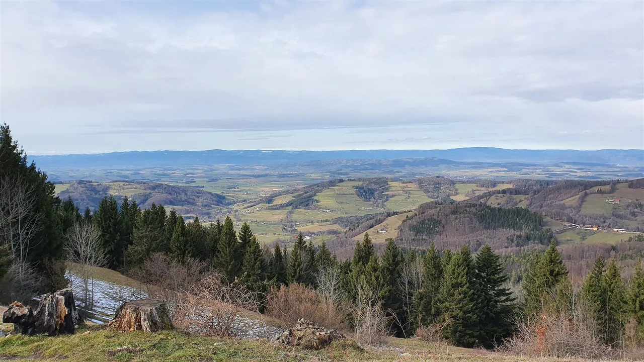
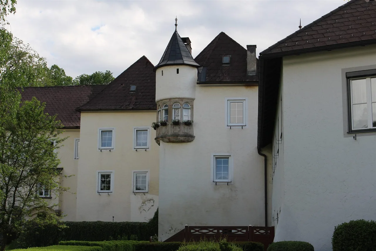
Continue through the hamlet, past the houses, then follow the gravel road downhill toward Mitter-Eibenberg. A lookout with an orientation board stands on the right. Follow the paved road and watch for the Fuxsteiner, the first Dirndl manufactory and distillery, on the right, at Tradigistgegend 17. Descend to the main road and turn left toward Breimühle. Stay on the road for about 3.4 km to the Andreasstraße junction, then turn left. Walk through the housing area, where the Andreaskirche, the "church without a tower", stands above the path on the left. Cross the railway again and continue toward Kirchberg. Before the Schulbrücke turn left into Bahnhofstraße, which brings you back to the station.
Terrain is asphalt and gravel. The effort is the climb to Dörfl auf der Eben. The official description puts a long stretch on a main road, and it is not stated whether it has a footway, so treat that section as a road walk with traffic.
If you want a Dirndl-themed add-on, start with the short Dirndlwanderung from the castle park. It passes the Skywalk viewing platform and the Dirndloase in the Schlosspark.
Map and track
There is no verified GPX for this loop. The official description above is the reference. If you want a track, use the Mostviertel Tourismus tour page and check it against what you see.
Seasonal conditions and safety
Blossom. The regional office says Dirndl bloom starts at the end of February or the beginning of March and continues through March. Apricots and other orchard trees follow later in spring. Go in March for Dirndl.
Fruit. The harvest is from mid-August and can last until the end of September. The fruit is ripe when it falls by itself, so growers spread fine nets under the bushes and empty them every two or three days. No official figure is published for how much Dirndl fruit is processed in Kirchberg each year. The sources give the shrub count, the harvest period and the brand history: the Dirndl became the valley's marker fruit in 2003.
Dirndlkirtag. The valley holds its Dirndl fair at the end of September, with the venue changing every year. It was in Frankenfels on 28 September 2025 and the 2027 edition is set for 25 and 26 September in Ober-Grafendorf. Extra Mariazellerbahn trains run for it.
Winter and wet weather. The bike closure from November to mid-April suggests surfaces and conditions are not at their best then. Rain turns gravel and meadow tracks slippery.
Road section. The main-road stretch needs attention. Walk facing traffic where there is no footway.
Practical recommendations
- Water and food. Carry water. Places to eat in Kirchberg, from the municipality's listing: Gasthaus Mahrer at the station, Café Bachinger (no rest day for either), Gasthof Kalteis (closed Monday to Wednesday) and Dirndlhof (closed Monday and Tuesday). Opening days change, so call ahead.
- Footwear. Light hiking shoes are enough.
- Dogs. The Pielachtal passes through pasture. Keep dogs on a lead when farm animals are close.
- Accessibility. Gradients and surface for buggies or wheelchairs are not verified. The short town walk is the easier choice.
- Shortcuts. Turn back at the Kirchbergblick for a short outing, or use the 2.07 km Dirndlwanderung through town.
- Flatter alternatives. The Pielachtal cycle path runs along the river, with 190 m of ascent over its 57 km, and the Warth-based "Himmlische Runde" is a marked circuit of almost 9 km, described as mostly well surfaced and good for dogs.
- A different mood. For views rather than orchards, Tut Gut route 1 climbs to the Poldlwarte at 576 m. It is rated hard and has some very difficult terrain.
Before or after the walk
- The Mariazellerbahn model railway museum, "Bahn im Bahnhof", is in the station, and the station also has an information point and short-term lockers, so you can leave a bag while you walk.
- The Erlebnisfreibad (open-air pool) on Schulgasse opens in fine weather daily from May to September, according to the loop's description.
- The Andreaskirche, the church without a tower, is on the loop itself.
- In March, the regional office runs guided Dirndl blossom walks with local nature guides. The 2026 programme included walks starting from Rabenstein station, Warth, Kirchberg and Frankenfels, with a small fee and registration with the regional office. No 2027 dates are listed yet.
Sources and verification
Checked on 16 October 2026 against the Pielachtal regional office pages on the Dirndl, the harvest, the blossom and the Dirndlkirtag, Mostviertel Tourismus tour and town pages, the Mariazellerbahn operator site, Wikipedia and OpenStreetMap. The route data are tourism listings.