A levada walk now starts at a booking screen
In Madeira in 2026 the rule is simple: no reservation, no walk. Every classified walking trail (the "PR" routes) needs a time reservation made in advance on SIMplifica, the regional government's digital services portal. The island's tourism board states that this applies to individual visitors, groups and people on guided tours, and that entering a classified trail without a reservation is an infraction that can lead to a fine.
This guide is not a trip report. It is a plain summary of what the official pages say as of 16 October 2026, arranged so you can decide which levada fits your day and what to sort out before you leave the hotel.
What you are actually walking on
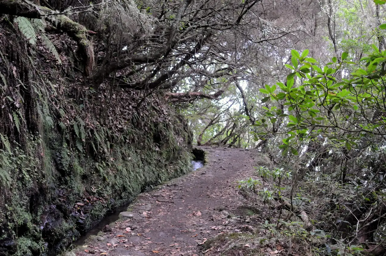
A levada is an irrigation channel. Madeira is wet in the north-west and dry in the south-east, and from the 16th century settlers cut channels along the mountainsides to carry water to farmland in the south. The tourism board dates the Levada do Caldeirão Verde to the 18th century and the Levada dos Cedros to the 17th. The service path beside each channel is what we now call a levada walk.
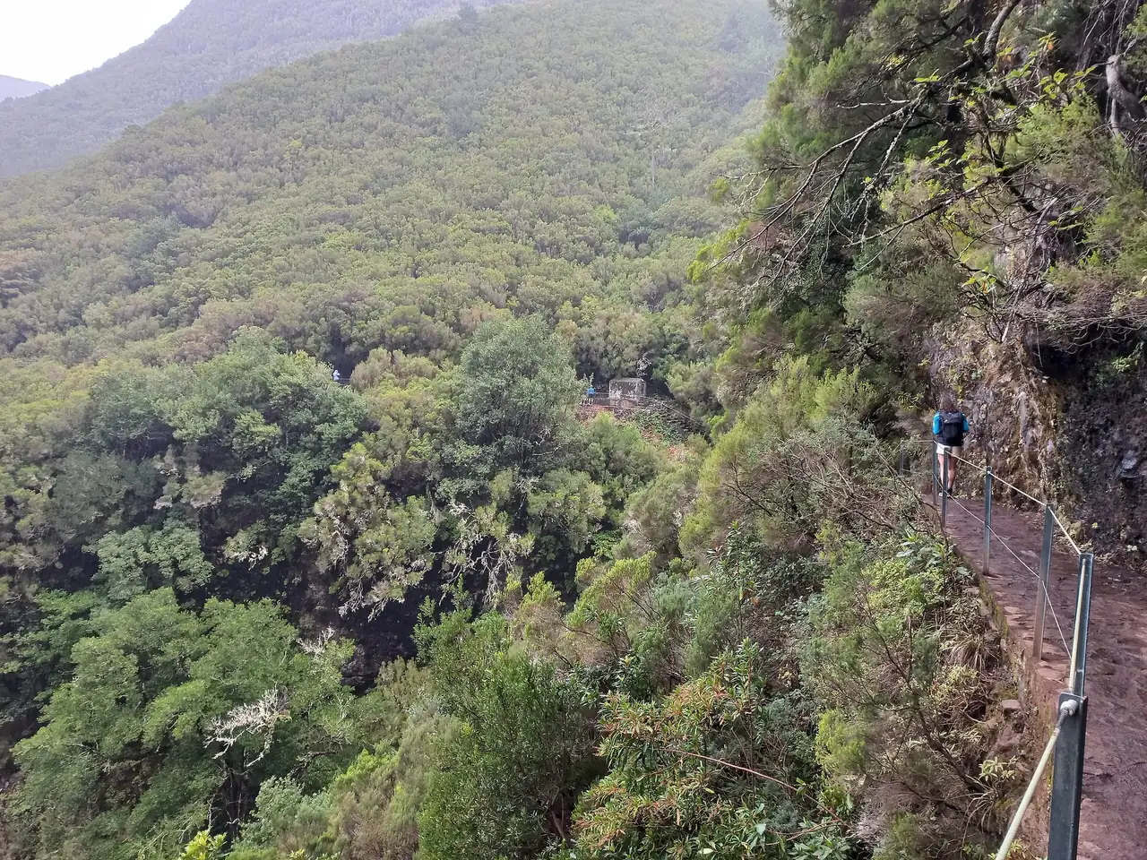
UNESCO describes the channels as typically 80 to 150 cm wide, with paths of 1 to 2 m beside them, and notes that the existing ones are carefully maintained. The open encyclopedia entry on levadas says the most recent were built in the 1940s. They run through the Laurisilva of Madeira, inscribed in 1999: roughly 15,000 hectares of laurel forest inside the 27,000 hectare Madeira Natural Park, the largest surviving area of primary laurel forest. UNESCO also points out the other side of the coin: sheer cliffs beside narrow levadas, so visitor safety needs real care.
Fees and rules in one place
- General fee for the classified PR trails in 2026: 4.50 EUR per person over 12 years old. Children up to 12 are exempt, and so are residents of the autonomous region.
- PR1 Vereda do Areeiro is priced by section. The out-and-back stretch from Pico do Areeiro to the Pedra Rija viewpoint costs 4.50 EUR. The full one-way walk from Pico do Areeiro to Pico Ruivo costs 10.50 EUR.
- Payment is made in advance, because mobile coverage in the mountains can be patchy.
- Weather can close trails temporarily. Rain, strong wind and fog are the reasons the tourism board names.
- The tourism board publishes a live status map of every classified route (open, restricted, closed). Check it on the morning of your walk, not only when you book.
- If you book through a tour company, ask what the fee covers. The official pages do not state a rule for operator-accompanied visitors, so this stays open.
Six routes, side by side
All figures below come from the individual Visit Madeira trail pages. Durations are the official estimates and refer to the stated distance, so a return walk is longer.
PR9 Levada do Caldeirão Verde
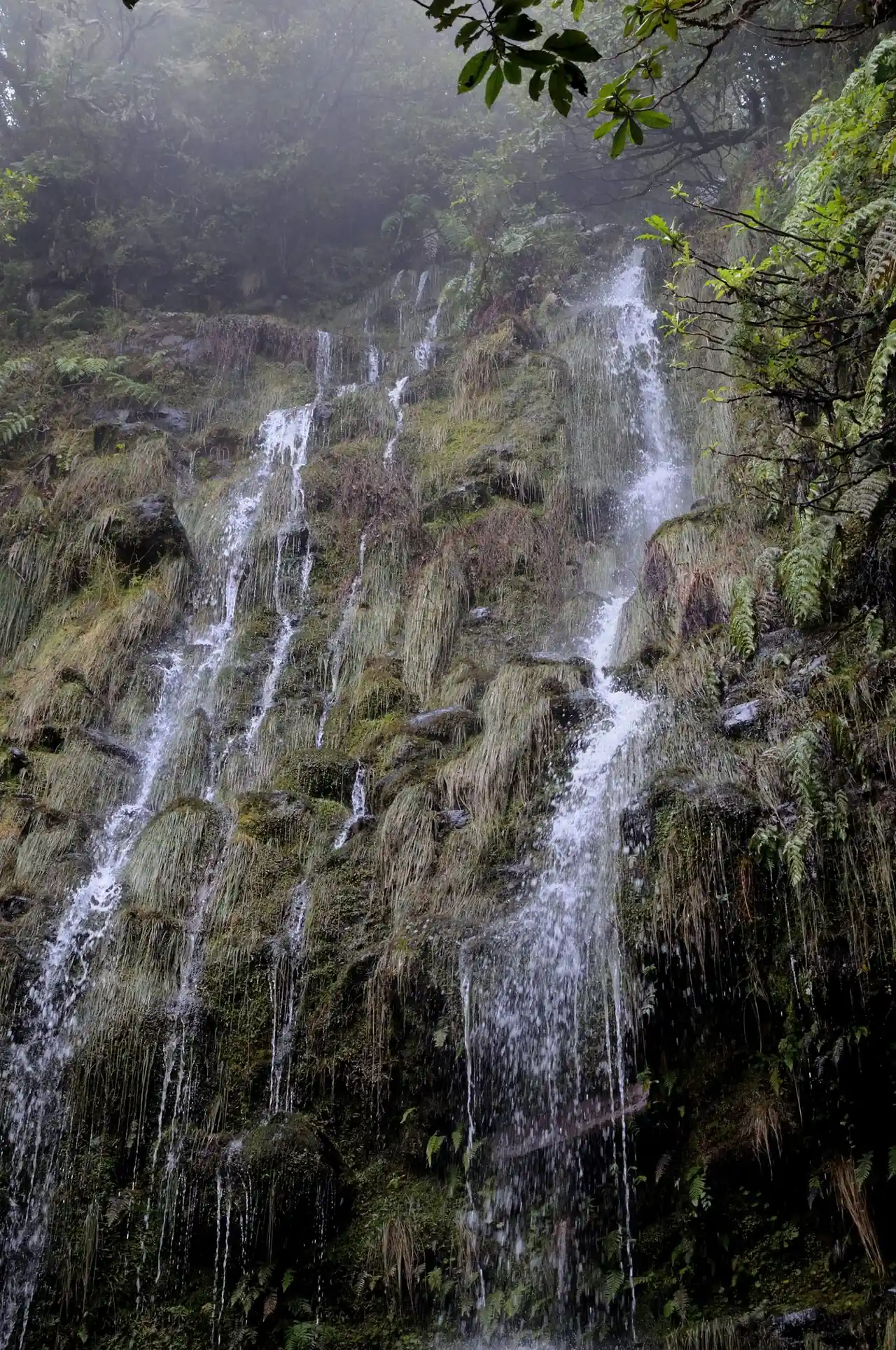
The classic. It starts at the Queimadas Forest Park, next to the triangular thatched shelter in the style of the Santana houses, and follows the levada through laurel forest, passing four tunnels cut into rock, to a waterfall of about 100 m. The page gives 8.7 km each way (17.4 km return), about 6 h 30 min, moderate difficulty, altitudes between 872 and 1,020 m. The page lists parking at 2 EUR per hour. Bring a head torch for the tunnels.
PR6 Levada das 25 Fontes
Starts at Rabaçal on the regional road ER 105 and leads to the Lagoa das 25 Fontes, a lagoon fed by springs. Official figures: 4.3 km each way (8.6 km return), 3 hours, moderate, between 964 and 1,288 m. The same start serves PR6.1 Levada do Risco, a 1.5 km walk rated easy at about 2 hours, which is the sensible swap if time or legs are short. The PR6 page carries a notice about a one-way section; read it when you book.
PR10 Levada do Furado
One of the island's oldest public levadas, 11 km one way from Ribeiro Frio (ER 303) to Portela (ER 102), about 5 hours, moderate, between 645 and 880 m. Because it is point to point, you need a transport plan for the end.
PR13 Vereda do Fanal and PR14 Levada dos Cedros
PR13 runs 10.8 km from the Assobiadores plateau (Paul da Serra, ER 209) to Fanal, about 4 hours, moderate, between 1,130 and 1,420 m. At Fanal, centuries-old til trees (Ocotea foetens) stand in a small crater classified as a Rest and Quiet Reserve. PR14 is shorter: 7.2 km, about 3 hours, from Fanal to Curral Falso on ER 209, with trees 30 to 40 m tall along the way.
PR18 Levada do Rei
Starts at the São Jorge wastewater treatment plant and leads to Ribeiro Bonito, described as a natural sanctuary. It is 5.3 km each way (10.6 km return), about 3 h 30 min, moderate, with little height change (535 to 573 m). At the end the São Jorge water mill still grinds grain with water from the levada.
PR1 Vereda do Areeiro
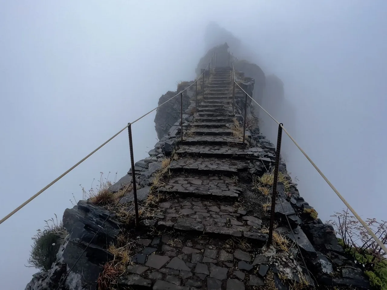
The high-mountain one. It links Pico do Areeiro (1,818 m) over Pico das Torres (1,851 m) to Pico Ruivo (1,862 m), 6.1 km one way, about 3 hours, moderate, between 1,491 and 1,857 m. You pass tunnels dug into volcanic tuff and climb a steep rock-cut staircase. Past the Pedra Rija viewpoint the full route is one-way only, so you cannot turn back along the same path. The final climb to the Pico Ruivo shelter is the hard part.
Choosing by weather and legs
Madeira has distinct microclimates. The south is usually warmer and drier, while the north and the high mountains are more exposed to wind and rain, and fog is common above the coast. The tourism board's FAQ says it is common to find fog and cooler air in the mountains while the coast is sunny and warm, so a high trail like PR1 can be in cloud on a bright day by the sea. Pick your trail the day before, look at the status map, and have a lower-risk alternative booked or at least in mind.
For a first levada walk, the shorter ones (PR6.1 at 1.5 km, or PR14 at 7.2 km) give you the forest and the water channel without the commitment of a 17 km return.
Packing and behaviour
The tourism board's own safety list is short and sensible: confirm the current instructions for your route, tell someone where you are going and when you expect to be back, finish before nightfall, take extra food and water, wear suitable clothes and shoes, carry a phone if you can, and turn back in heavy rain or strong wind. The walking code asks you not to light fires, take plants or animals, drop litter or alter signs.
We would add, as general trail sense rather than an official rule, grippy shoes for wet stone, a light rain layer even in sunshine, and a head torch whenever your trail mentions tunnels. Check the trail page for dog rules before you plan to bring one; there is no single island-wide statement.
Getting there
Your slot is fixed, so settle transport before you pay. From the airport to Funchal the tourism board lists Aerobus, taxi, transfer or rental car, around 20 to 25 minutes. Many trailheads (Queimadas, Rabaçal, Ribeiro Frio, Fanal, Pico do Areeiro) sit on mountain roads. The city bus operator publishes timetables at Horários do Funchal, but scheduled buses may not reach every trailhead at a useful time, so check each one before relying on it.
Step-free and shorter options
The tourism board lists PR9.1 Levada do Caldeirão Verde, "um caminho para todos", as a path designed so that people with motor and visual disabilities can enjoy direct contact with nature. PR6.8 Levada do Paul II is another "path for everyone", about 1,200 m one way (2,400 m return) from the Rabaçal loading chamber on ER 105. At the time we checked, PR7 Levada do Moinho was marked closed.
Sources and verification date
All facts were checked on 16 October 2026 against the sources listed with this article: the Visit Madeira trail pages and FAQ, the tourism board's notice to walkers, UNESCO's description of the Laurisilva of Madeira, and the open encyclopedia entry on levadas. Fees, closures and one-way arrangements change, so treat the live trail page as the final word.
Related reading
If you like mountain walks that need a permit, see Climbing Teide in 2026: Permits, Fees and the Two Ways Up for another island with a booking system. For a night out on cold ground, Sleeping Pads for Trekking explains what to look for.